Geoinformatics, Remote Sensing and Precision Farming
Lecture notes covering GIS, GPS, remote sensing, image analysis, crop monitoring, and precision-farming technologies as per ICAR 6th Deans' Committee 2026. Course Code: ELEC 18 | Credits: 4(3+1).
Frequently Asked Questions
What is geoinformatics in agriculture?
Geoinformatics in agriculture means collecting, storing, mapping, and analyzing location-based information so soil, crop, water, and field-variability data can be turned into practical farm decisions.
What is the difference between GIS, GPS, and remote sensing?
GPS helps determine exact location, remote sensing collects information about the field from a distance using satellites, aircraft, or drones, and GIS organizes multiple spatial data layers so they can be analyzed together.
What is remote sensing in simple words?
Remote sensing is the process of detecting and monitoring characteristics of an area from a distance by measuring reflected or emitted radiation, usually with sensors mounted on satellites, aircraft, or drones.
What is NDVI and why is it used in agriculture?
NDVI is a vegetation index derived from reflected light that helps indicate crop greenness and vigor, so it is widely used for crop-health monitoring, stress detection, and spatial comparison within fields.
What is precision farming?
Precision farming is a technology- and information-based approach to within-field management where inputs such as seed, water, fertilizer, or pesticides are applied at the right place, in the right amount, and at the right time.
What is site-specific crop management?
Site-specific crop management means treating different zones of the same field according to their own soil, crop, moisture, or nutrient conditions instead of giving the whole field one uniform recommendation.
What is variable-rate application in precision agriculture?
Variable-rate application is the controlled adjustment of input dose across different parts of a field using maps, sensors, and machine guidance so resources match actual local need more closely.
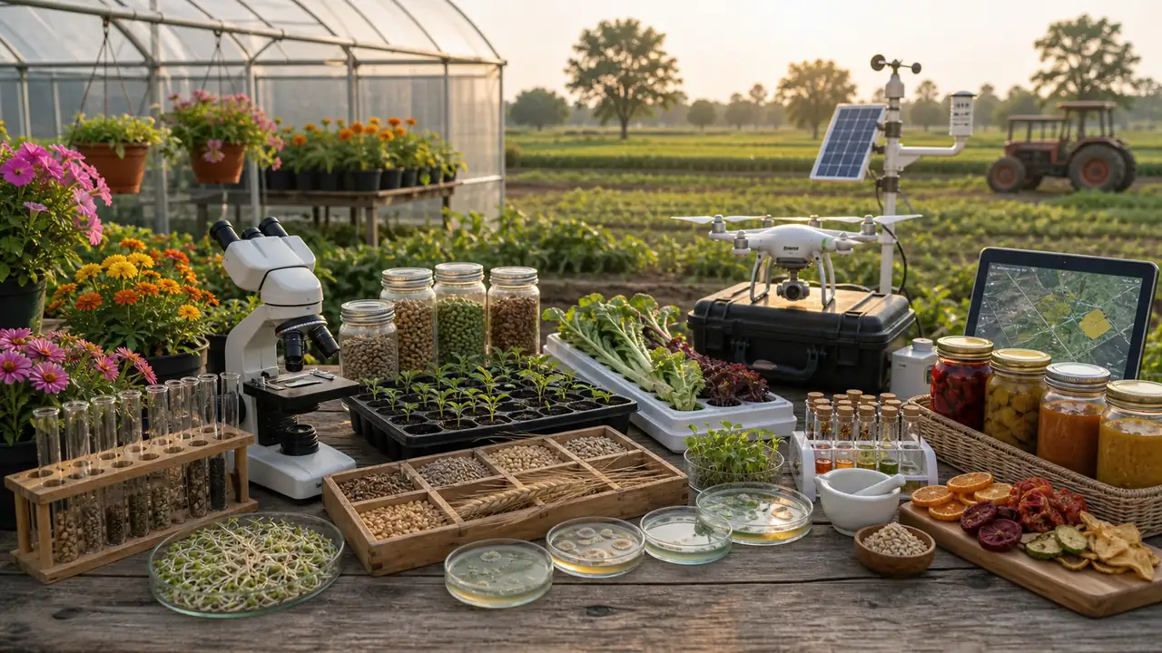
How are drones and IoT used in precision farming?
Drones help capture high-resolution crop images for monitoring and mapping, while IoT devices and field sensors provide real-time environmental data that support automated, location-specific farm decisions.